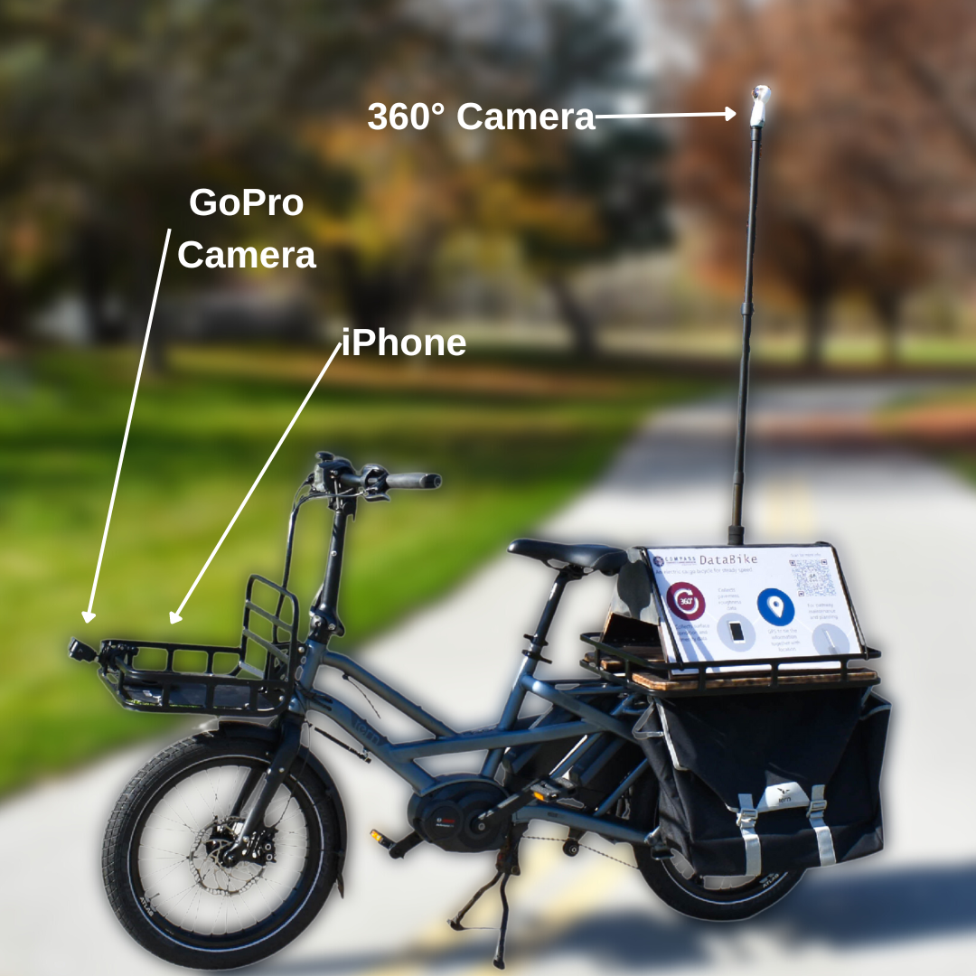
COMPASS Data Bike

In 2018, COMPASS received a Technology Transfer grant from the Federal Highway Administration to purchase and outfit a “data bike” to collect quantitative pavement condition data – primarily roughness data and photos – for pathways and other off-street facilities in Ada and Canyon Counties.
COMPASS uses these data, as well as bicycle and pedestrian count data, to inform regional bicycle and pedestrian planning. More information on the COMPASS Data Bike program is below; learn more about COMPASS’ bicycle and pedestrian counters here.
COMPASS began using the bike in 2020, primarily to test the bike’s features and develop standard operating procedures. In summer 2021, COMPASS will begin full usage of the bike to analyze pathway conditions to aid in understanding and prioritizing pathway maintenance needs. The data collected will complement field inspections performed by local agency staff. The COMPASS Active Transportation Workgroup will help identify priority pathway segments to analyze each year.
